
Norse Navigation: How the Vikings Crossed the Atlantic Without a Compass
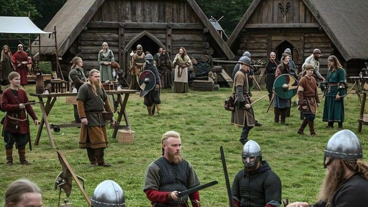
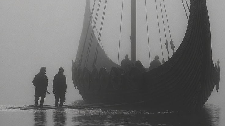
The seafaring achievements of the Vikings remain some of the most astonishing feats in human history. Long before the invention of the magnetic compass or reliable ocean charts, Norse navigators sailed across thousands of miles of open, treacherous North Atlantic water. They reached Iceland, Greenland, and ultimately the shores of North America. To accomplish this, they did not rely on luck. Instead, they mastered a complex system of natural observation, acute environmental awareness, and ingenious mechanical tools that allowed them to read the open ocean like a map.
The Mystery of the Sunstone
One of the greatest challenges of navigating the North Atlantic is the weather. The region is notorious for thick fog and heavy cloud cover, which can completely obscure the sun for days at a time. To overcome this, Viking navigators utilized a legendary tool known as the sunstone, or "sólsteinn." For centuries, historians thought this was a myth from the Icelandic sagas, but modern science has revealed its reality. The sunstone was a piece of Icelandic spar, a natural calcite crystal that polarizes light. By holding the crystal up to a cloudy sky and rotating it, a navigator could locate the exact position of the sun through the clouds based on how the light changed within the stone.
The Wooden Sun Compass
When the sun was visible, the Vikings relied on a remarkably accurate device called a sun compass. Archaeological fragments discovered in Greenland reveal a wooden disc with a central pin, known as a gnomon. As the sun moved across the sky, the tip of the gnomon’s shadow traced a path across the disc. Navigators carved specific lines into the wood to represent the sun's path at different times of the year. By aligning the shadow with the correct curve for the season, they could determine true north with incredible precision. This tool allowed them to practice "latitude sailing," where they would sail to a specific northern coordinates line and simply hold that straight course east or west until they hit land.
Reading the Ocean Wilderness
Beyond their physical tools, Viking navigators possessed a deep, intuitive understanding of the natural world. They used every sensory clue available to determine their position. They monitored the migratory paths of whales and the flight patterns of seabirds, knowing that certain species never flew too far from the coast. The color of the water, the temperature of the currents, and even the smell of the wind could signal that land was just over the horizon. They also utilized lead lines, which were heavy weights dropped on ropes to measure ocean depth and bring up samples of the seabed mud, helping them identify familiar coastal shelves.
The Horizon as a Highway
For a Norse sailor, the open ocean was not a barrier, but a highway. They viewed the horizon not as an empty void, but as a space filled with subtle signs left by the gods and nature. Their navigation was a collective art form passed down through generations of oral tradition and practical apprenticeship at sea. A great captain was not just a warrior, but a master scientist of the natural world, capable of synthesizing wind patterns, bird calls, and crystal shadows into a single, successful voyage.
Legacy of the True North
The navigation techniques of the Vikings prove that the spirit of exploration relies on resourcefulness and a deep respect for the environment. They did not need complex modern technology to conquer the Atlantic because they knew how to listen to the Earth. Today, understanding Norse navigation reminds us of the power of human ingenuity. It inspires us to sharpen our own observation skills, trust our instincts, and face the unknown with the same quiet confidence that guided the dragon ships safely through the northern mists.